v13.0 [Aug 27, 2012]
New commands added in GeoTools V13. GeoTools V13 is the first version of GeoTools to be compatible with AutoCAD 2013.

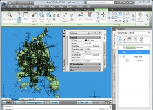
It is a plug-in that provides interoperability between AutoCAD and ArcGIS.

This patch is for the network version of AutoCAD Land Development Desktop R2.