C-GEO enables importation of survey data from geodetic instruments.
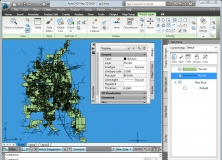
AutoCAD Map 3D is a model-based GIS and mapping software.
It is a plug-in that provides interoperability between AutoCAD and ArcGIS.
A integrated environment for the planning and computing of civil works.
This patch is for the network version of AutoCAD Land Development Desktop R2.